For the first time since 2022, the NOAA Ship Thomas Jefferson is underway in the Great Lakes. The vessel and its crew of NOAA Corps officers and professional mariners are working with NOAA scientists to map the waters of western and central Lake Erie and eastern Lake Ontario this year to improve navigation safety. Survey work will also occur within Lake Ontario National Marine Sanctuary to identify critical habitats located within the area.
Western Lake Erie, one of the shallowest areas within the Great Lakes marine transportation system, is highly trafficked by commercial and recreational vessels and has not been surveyed since the 1940s. NOAA’s nautical navigation products and services from seafloor mapping surveys are critical for a safe, and secure ocean economy. These tools reduce collisions, identify dangers to navigation, and facilitate more efficient and successful fishing operations.
The Great Lakes are the least mapped region of the U.S., making this work even more important for mariners in the region. In addition to operations on larger vessels like the Thomas Jefferson, NOAA also maps critical areas of the Great Lakes each year using navigation response teams. This year, those teams will map Thunder Bay National Marine Sanctuary; western Lake Erie; Braddock Bay and Vicinity, New York; and Green Bay, Michigan and Wisconsin. Follow along with each survey’s progress here.
These projects also contribute to the collaborative Lakebed 2030 initiative to map the Great Lakes, as well as the Great Lakes Restoration Initiative’s habitat mapping program.
This summer, the Thomas Jefferson will augment operations with a DriX, an uncrewed surface vehicle near Oswego, New York to accelerate mapping efforts. The DriX is equipped with high-resolution multibeam sonar, used to map the seafloor and detect objects in the water column or along the seafloor. The DriX is operated using “supervised autonomy,” meaning that a NOAA pilot is always monitoring the system and ready to take control if needed. The system is capable of operating for upwards of four days at a time before returning to shore for routine checks and refueling.
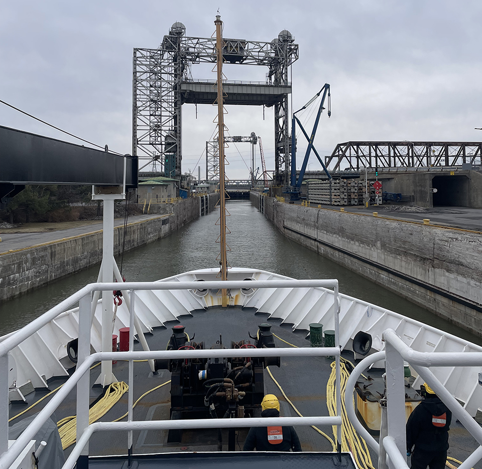
(Photo of NOAA Thomas Jefferson in the Saint Lambert’s Lock of Montreal by LTJG Katie Bornarth/NOAA)